A rainfall record is only useful when the gauge captures the right quantity, at a defensible site, with timestamps and maintenance history you can trust. You will learn how gauge types differ, how to install and validate them, and how to turn rainfall depth into planning volumes without confusing a daily total with a storm’s runoff risk.
Key takeaways
- Measure rainfall as depth over the gauge opening, not total water volume.
- Match gauge type and location to the planning decision and time scale.
- Compare readings with nearby sources without assuming either source is correct.
- Specify maintenance, validation and reporting requirements before installing the network.
How rain gauges turn precipitation into usable measurements
A rain gauge converts collected precipitation into depth, usually millimetres (mm); 1 mm of rainfall equals 1 litre per square metre. The output is not simply “how much water passed through” but an estimate of water depth over the gauge’s opening.
| Gauge type | What it measures | What the output means |
|---|---|---|
| Manual standard rain gauge | Water volume collected in a graduated cylinder over a reading period | The accumulated rainfall depth, such as 18 mm since the last observation |
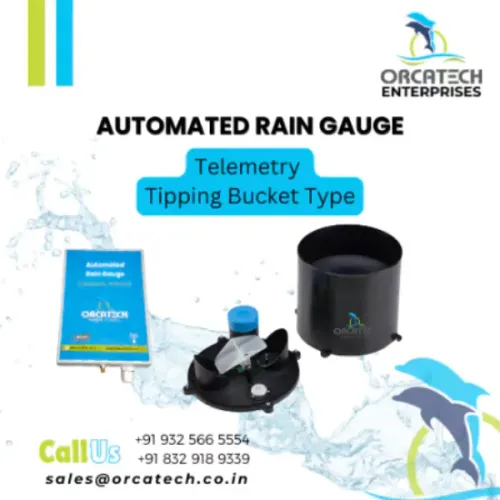
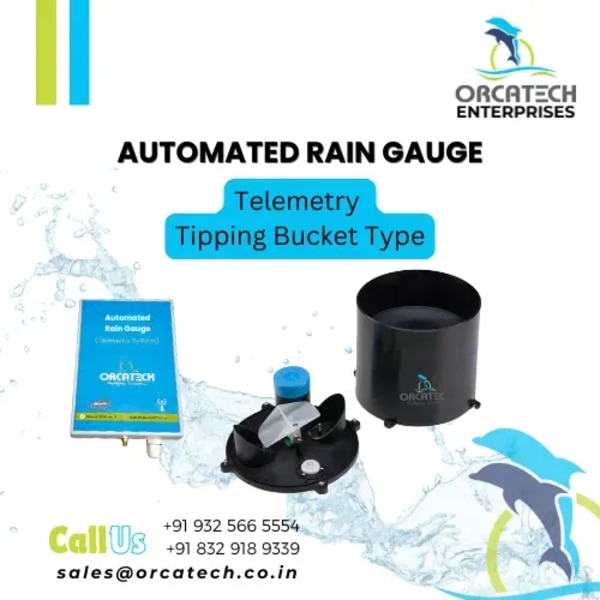
| Tipping-bucket rain gauge | Discrete switch closures as a calibrated bucket fills and tips | Each tip represents a set depth, such as 0.2 mm; timestamps create event totals and estimated intensity |
| Weighing rain gauge | The changing mass of water, snow or other precipitation in a collector | Continuous accumulated depth and intensity derived from the rate of mass increase |
A manual standard rain gauge gives a direct reading, but it cannot show when a storm occurred between site visits. A tipping-bucket rain gauge reports digital events rather than continuous flow. During intense rain, water entering while the bucket tips can make totals read low; splash, bounce or switch chatter can make them read high.
A 0.2 mm resolution is not 0.2 mm accuracy.
A weighing rain gauge avoids bucket-emptying limits, but load-cell drift, evaporation, debris, wind loading and temperature effects still need compensation or quality flags. Snow and freezing rain require a specified heating or antifreeze method, because the output may represent meltwater collection time rather than precipitation time.
Choose the gauge and site for the decision you need to make
A manual versus automatic rain gauge decision depends on how quickly you need the data and how reliably someone can reach the site.
| Option | Strength | Best choice when |
|---|---|---|
| Manual gauge | Low equipment cost, no power or telemetry; requires scheduled readings | You need daily totals and can visit the site consistently |
| Automatic gauge | Time-stamped readings, remote access and continuous records; needs power, communications and maintenance | You need storm timing, alerts or data from a remote catchment |
Choose the automatic option if missed site visits would create a dangerous gap in a water-supply or flood record. Choose manual if the site has no dependable power or signal and a trained observer can read it at a fixed time.
A tipping-bucket unit also needs calibration and cleaning; its stated tip resolution is not its accuracy.
Install the collector on firm ground with level mounting and unobstructed exposure. Keep roofs, walls, trees and fences at least twice their height away; increase that distance where space permits. A standard ground installation places the rim at a documented gauge height, commonly about 0.3 metres above the surface.
Add a suitable wind shield without blocking drainage.
Before installation, check:
- No roof edge, branch or wall can shed water into the collector.
- The ground drains away and cannot pond around the base.
- The enclosure resists livestock, vandalism and vehicle spray.
- Coordinates, elevation, gauge height, shield, power, time standard and site changes are recorded.
A rooftop location is convenient but can produce a different total even when the instrument works correctly.
Report rainfall in the time scale your plan requires
Use the shortest logging interval your decision needs, because a daily rainfall depth can hide two storms with identical totals but very different peak runoff. Store each interval’s accumulation with a timestamp, and state whether that timestamp marks the start or end of the interval.
| Planning use | Record and calculate |
|---|---|
| Water supply | Sum interval depths for daily, monthly and seasonal totals; retain the raw series for recharge and reservoir models. |
| Stormwater | Preserve one-minute or five-minute depths where possible, calculate rainfall intensity as depth divided by interval duration, and derive the storm total by summing consecutive wet intervals. |
| Groundwater | Retain event dates, dry-period gaps and cumulative rainfall so recharge models can apply soil and land-use losses. |
For a catchment, convert rainfall depth to water volume with: volume in cubic metres = depth in millimetres × area in square metres ÷ 1,000. Apply a stated runoff coefficient for stormwater estimates; do not treat total rainfall volume as runoff.
For water supply, subtract interception, evaporation, soil storage and other losses through the chosen water-balance method.
A tipping-bucket record needs extra care. Each tip represents a discrete increment, so high rainfall intensity can be understated while the mechanism moves, and splash or switch chatter can inflate totals. Preserve raw tips, interval totals, storm total and quality flags rather than keeping only a daily summary.
Use UTC or a named local time zone consistently, including daylight-saving rules. Retain gauge elevation, coordinates, resolution, maintenance periods and calibration history beside every record, then label a return-period rainfall as a statistical design value—not as a direct measurement from one storm.
Validate readings without treating another data source as ground truth
A gauge can transmit plausible numbers after its inlet is blocked or its bucket sticks. Validate each record against the instrument’s behaviour, site conditions and independent observations rather than declaring another source correct.
Use rainfall quality control to flag:
- Long runs of identical tips, negative or reset totals, accumulation without sensor activity, and rainfall during maintenance
- One-minute intensities beyond what the storm could produce, or abrupt disagreement with nearby gauges
- Missing periods, duplicated timestamps, and sudden level shifts after cleaning, relocation or component replacement
Rain-gauge calibration tests the actual collector and mechanism, not just the stated resolution. Apply a measured volume, confirm the expected tip count or mass, and record the result; a 0.2 mm tip is not proof of 0.2 mm accuracy.
Compare totals with a correctly exposed manual gauge during the same storms, while investigating differences caused by wind, splash, blockage or high-rate tipping.
Use weather radar validation to examine storm timing and spatial coverage, not to replace the gauge. Radar estimates can miss low-level precipitation or misrepresent intensity, while a gauge samples one point.
Retain metadata that explains every change: coordinates and elevation, collector height, gauge type and resolution, shield and heater configuration, calibration history, siting changes, maintenance periods, UTC or local-time convention, and quality flags. Do not apply a universal wind correction; the appropriate adjustment depends on exposure, shield, wind at the orifice, precipitation phase and drop size.
Specify a rainfall monitoring network that remains useful after installation
Specify the rainfall monitoring network as a measurement-and-maintenance system, not a purchase of gauges. Define the decision interval, outage behaviour, metadata, quality controls and service response before installation.
- Require rain-gauge telemetry with UTC timestamps, configurable logging intervals, event timestamps, alarm notifications and a documented communications retry schedule.
- Require local data storage that retains sub-interval observations during network or power outages, then records backfilled data without overwriting original timestamps.
- Preserve data continuity through a battery or backup-power requirement, spare parts, calibration intervals, maintenance logs and a response time for blocked, stuck or vandalised gauges.
- Store coordinates, elevation, collector height, gauge type, resolution, shield and heater configuration, siting changes, calibration history, maintenance periods, time convention and quality flags with every station record.
- Specify automated checks for identical tip runs, maintenance-period rainfall, accumulation without sensor activity, negative or reset totals, excessive one-minute intensities and abrupt disagreement with nearby stations.
- State the exposure standard: level mounting, open ground and obstructions at least twice their height away. Record any relocation as a new exposure, not a seamless continuation.
- If snow, sleet or freezing rain matters, specify the collection method, heater or antifreeze arrangement, power budget and whether readings represent precipitation time or meltwater time.
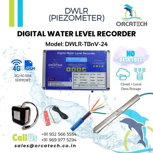
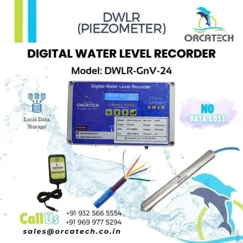
For remote reservoir or catchment decisions, ask Orcatech Enterprises or another integrator to align rainfall records with water-level and flow timestamps, so a communications outage cannot masquerade as a dry period.
Frequently asked questions
How does a rain gauge measure precipitation?
A rain gauge collects precipitation over a known opening and reports the resulting depth, usually in millimetres. One millimetre equals one litre per square metre.
How should you choose and site a rain gauge?
Choose the gauge type and site according to the decision, such as storm response, irrigation planning or long-term water-resource assessment. Keep the gauge level, accessible and clear of obstructions that distort rainfall capture.
What time scale should rainfall reports use?
Report rainfall at the interval required by the plan. Short intervals support storm and drainage decisions, while daily, monthly and seasonal totals support water allocation and resource planning.
How can you validate rain gauge readings?
Check totals, timestamps, missing periods, maintenance records and unusual changes. Compare readings with nearby gauges, radar or weather data as evidence, not as automatic ground truth.
What should a rainfall monitoring network specification include?
Specify gauge locations, measurement intervals, data transmission, storage, calibration checks, maintenance access, quality-control rules, alert thresholds and procedures for missing or suspect readings.